National Weather Service Issues Flood Watch for San Angelo, West-Central Texas Amid Severe Thunderstorm Threat
The National Weather Service has issued a warning for San Angelo and West-Central Texas regarding slow-moving thunderstorms expected to develop this afternoon and continue overnight into Thursday morning. The primary concern is flooding due to heavy rain, with potential for…
 San Angelo, TX, September 30, 2026 — The National Weather Service has issued a warning for San Angelo and West-Central Texas, anticipating the development of slow-moving thunderstorms that could bring significant rainfall. These storms are expected to begin forming this afternoon and persist through the overnight hours, extending into Thursday morning.
The primary concern associated with these weather systems is the potential for widespread flooding. Forecasters indicate that rainfall rates could reach 1 to 3 inches within a short period. In isolated instances, cumulative rainfall totals could climb to 6 to 8 inches or even exceed these amounts, significantly increasing the risk of flash flooding.
A Flood Watch has been put into effect for the affected regions and will remain active through Friday morning. This watch signifies that conditions are favorable for flooding, and residents are advised to stay informed about potential watches and warnings that may be issued.
In addition to heavy rainfall, there is also a possibility of isolated severe thunderstorms. These severe cells could produce damaging hail and strong wind gusts, posing additional hazards to the area. The National Weather Service continues to monitor the developing weather pattern and will provide updates as necessary.
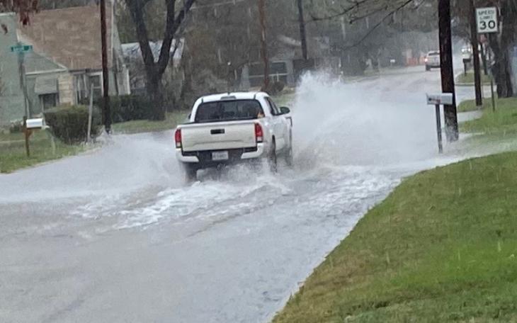
Specific details regarding the exact timing and location of the most intense rainfall or severe storm activity are subject to change as conditions evolve. Residents in San Angelo and across West-Central Texas are encouraged to prepare for potential disruptions caused by heavy rain and thunderstorms, including hazardous driving conditions due to flooded roadways.
Story summarized from the original created by lucasbanda on sanangelolive.com, see more information here.
Media gallery